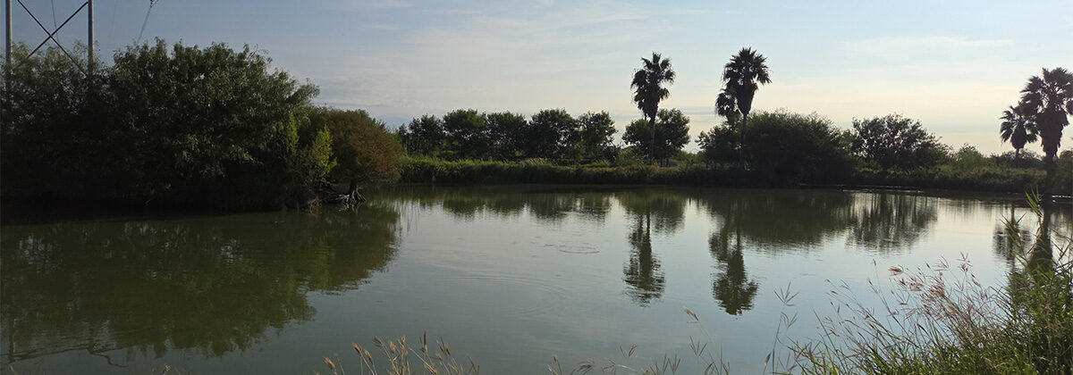

Where is the Arroyo Colorado?
- The Arroyo Colorado is located in the Lower Rio Grande Valley of South Texas.
- Its headwaters are southwest of the city of Mission and it drains into the Lower Laguna Madre.
- It is a sub-watershed of the Nueces-Rio Grande Coastal Basin, also known as the South (Lower) Laguna Madre Watershed (Hydrologic Unit Code 12110208).
How big is the Arroyo Colorado?
- It is approximately 706 square miles (1,828 square kilometers) or 451,840 acres (182,853 hectares).
- It is approximately 90 miles long.
- Average range of width is 40 to 200 feet.
- Average depth range can be as shallow as 2 feet or as deep as 13 feet.
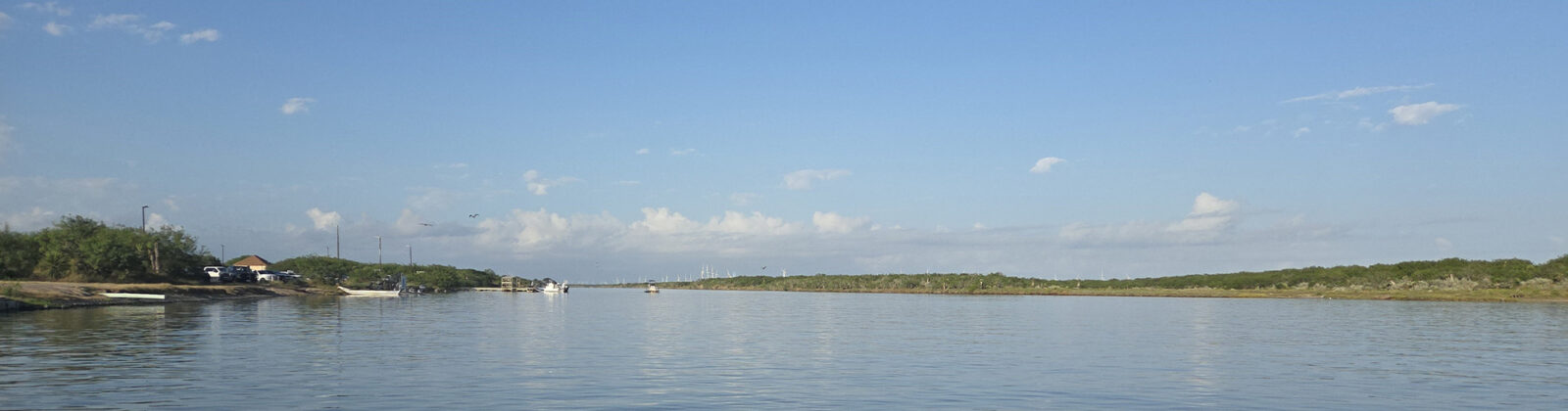
How do we use the Arroyo Colorado?
- Primarily as a floodway and a conduit for wastewater conveyance.
- For commercial barge traffic and as a recreational area for boating and fishing.
- An important nursery and foraging area for numerous marine species.
- Predominate land use within the watershed is agriculture (~330,000 acres) with a rapidly growing urban populations.
What feeds the Arroyo Colorado?
- It has a freshwater segment (Segment 2202) and a tidally influenced marine segment (Segment 2201).
- Perennial (year-round) flow is sustained mainly by flows from municipal wastewater treatment facilities.
- Irrigation return flows and urban runoff supplement the flow on a seasonal basis.
What are impairments in the Arroyo Colorado?
- Segments 2201 and 2202 are listed as impaired for high bacteria levels.
- Segment 2201 is also listed as impaired for low dissolved oxygen.
- Nutrient concentrations (nitrogen and phosphorus compounds) are high in both segments.