Arroyo Colorado Watershed Maps
(from the 2017 Update to the Watershed Protection Plan)


Tables
(from the 2017 Update to the Watershed Protection Plan)


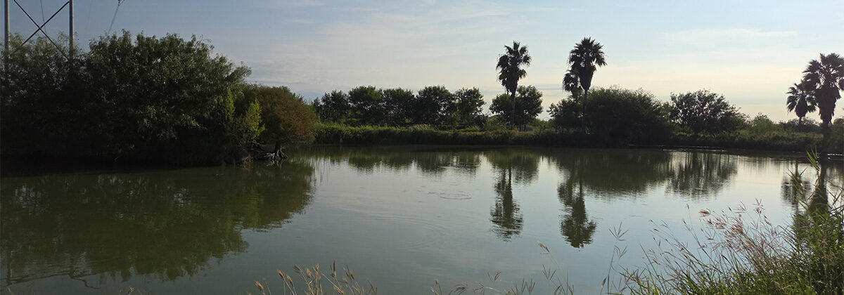
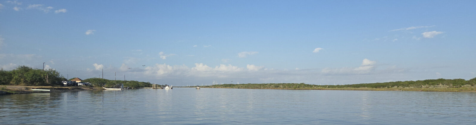
Arroyo Colorado
Know it. Respect it. Enjoy it.
(from the 2017 Update to the Watershed Protection Plan)
(from the 2017 Update to the Watershed Protection Plan)