• Phone: (956) 968-5581
  • Email AC Staff
Start typing & press "Enter" or "ESC" to close
  • Home
  • About
    • Watershed
    • Partnership
    • Work Groups
    • WPP
    • People
    • Collaborators
  • Projects
    • Current Projects
    • Completed Projects
  • Events
  • Watershed Updates
  • Become Involved
    • Volunteer/Outreach
  • Maps and GIS Data
    • GIS Viewers
    • Arroyo Colorado Watershed
    • Water Quality Assessment
    • Pollution Sources
    • Source Loading Analysis
  • Resources
    • Newsletters
    • Publications/Fact Sheets
    • Physical Watershed Model
    • Septic Systems Resources
    • Videos
    • Photos
    • External Resources
  • Home
  • Projects
  • Completed Projects
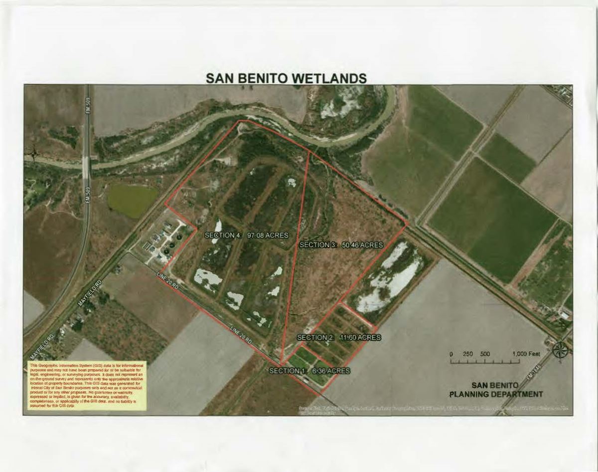
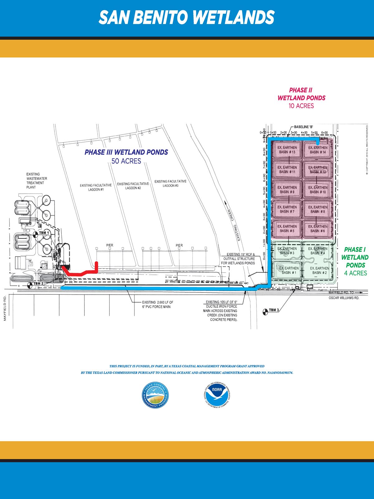
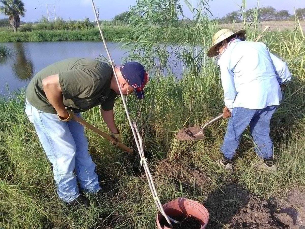
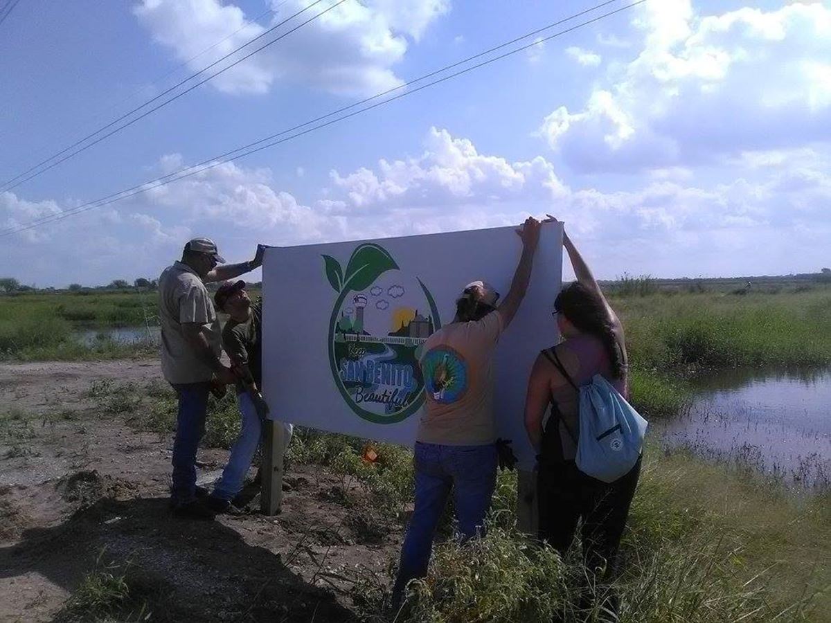
  • San Benito Wetlands Phase IV
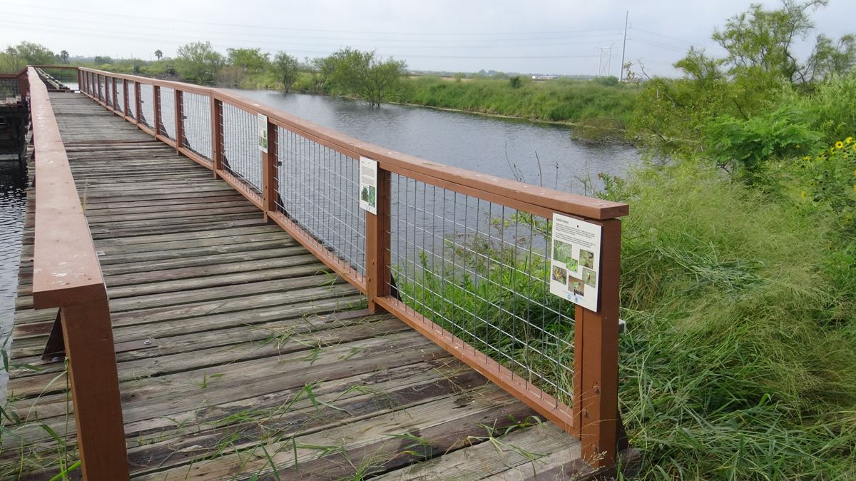
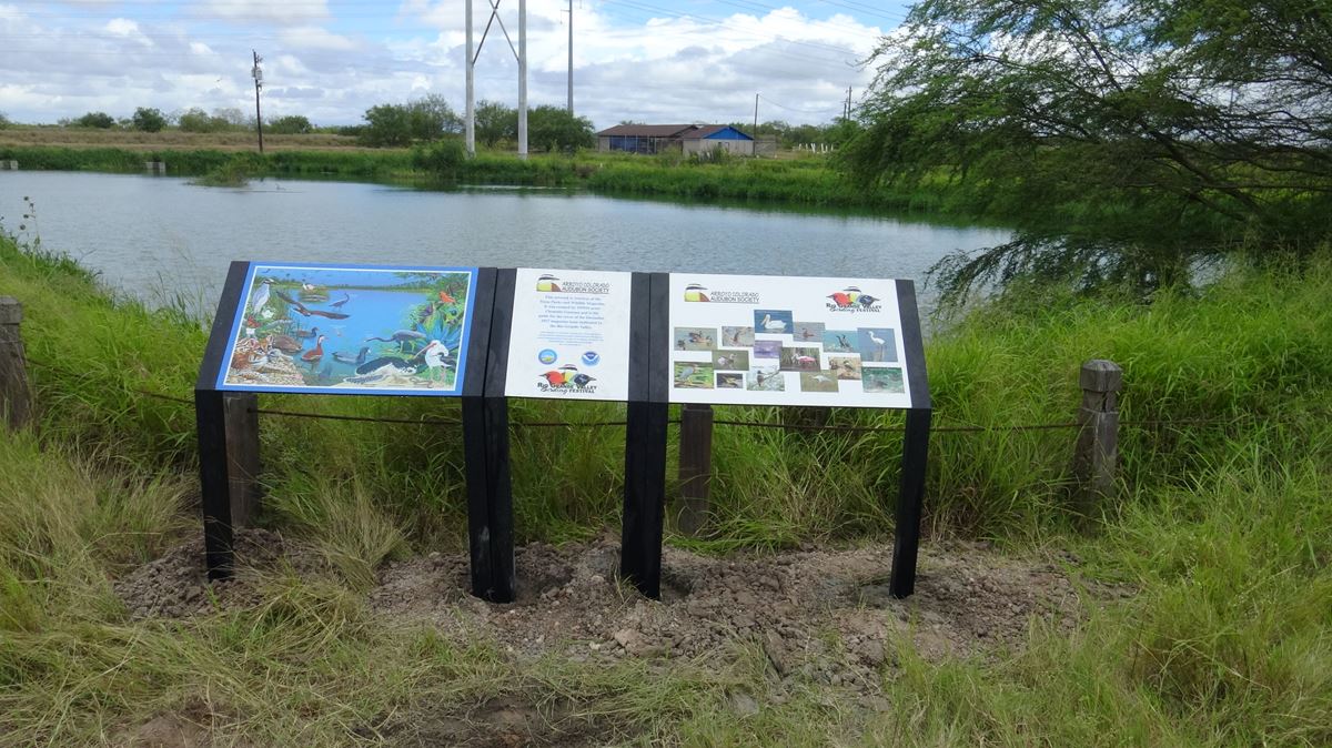
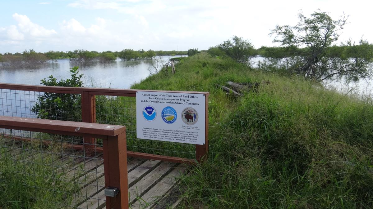
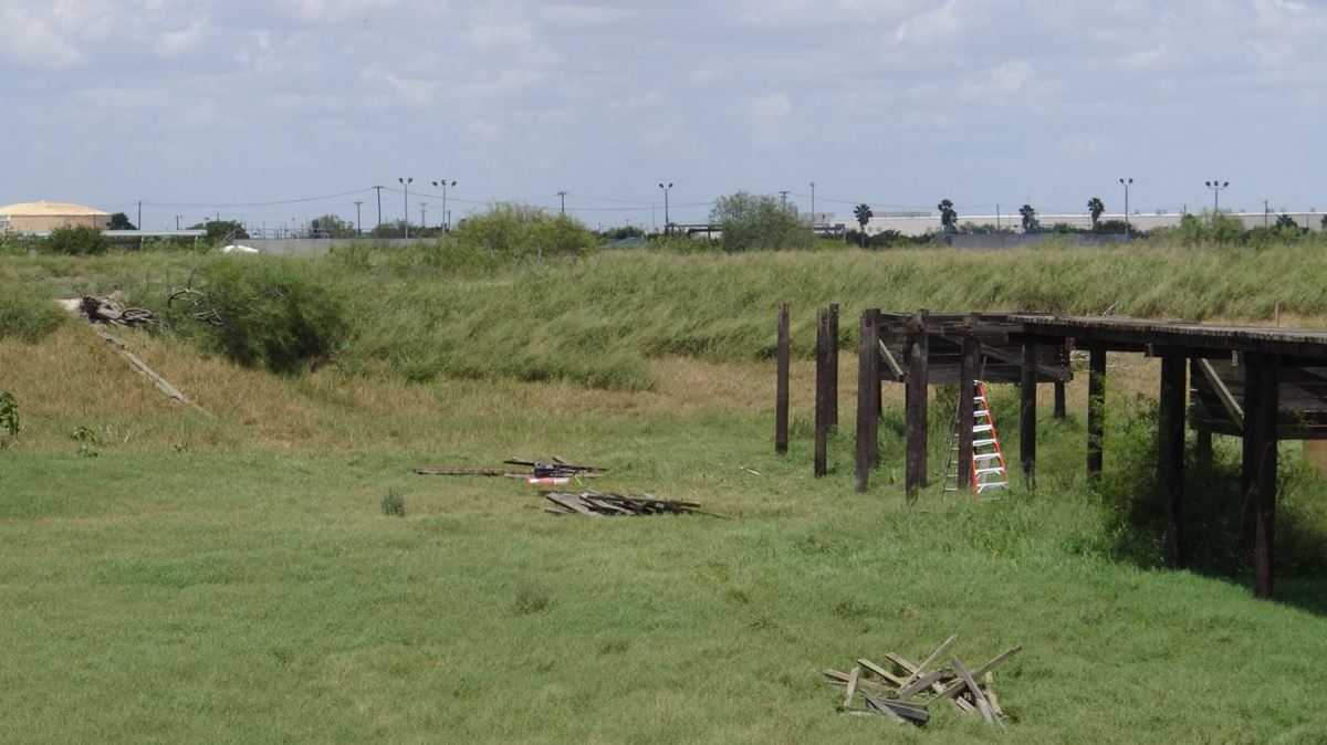
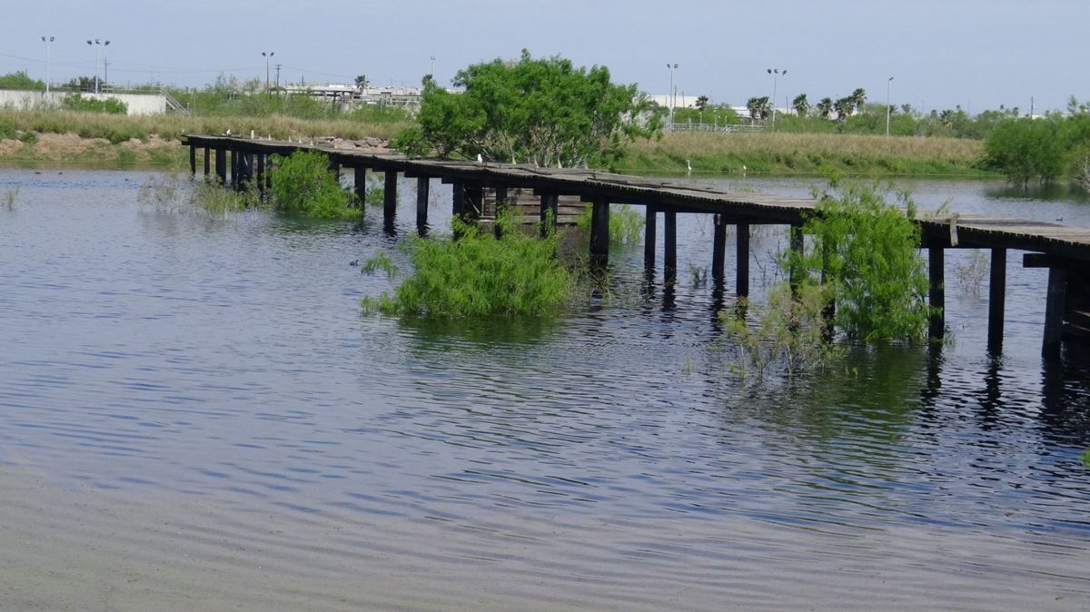
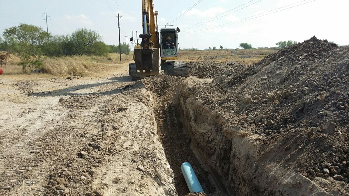
  • Project Photos

Project Photos

San Benito Wetlands Map
6 6 19 (4)
DSC00715
DSC00712
Wetland map
8 21 18 7 1598392975521
3 21 19 9 1598392975526
Adding Pipe
Adding Vegetation
Putting Up Sign
For more information about the watershed and the partnership, contact:

Lucas Gregory, TWRI Associate Director
lfgregory@ag.tamu.edu

Funding provided by the Texas Commission on Environmental Quality and the Texas State Soil and Water Conservation Board as part of Clean Water Act Section 319(h) Grants from the U.S. Environmental Protection Agency.

© 2020 All rights reserved